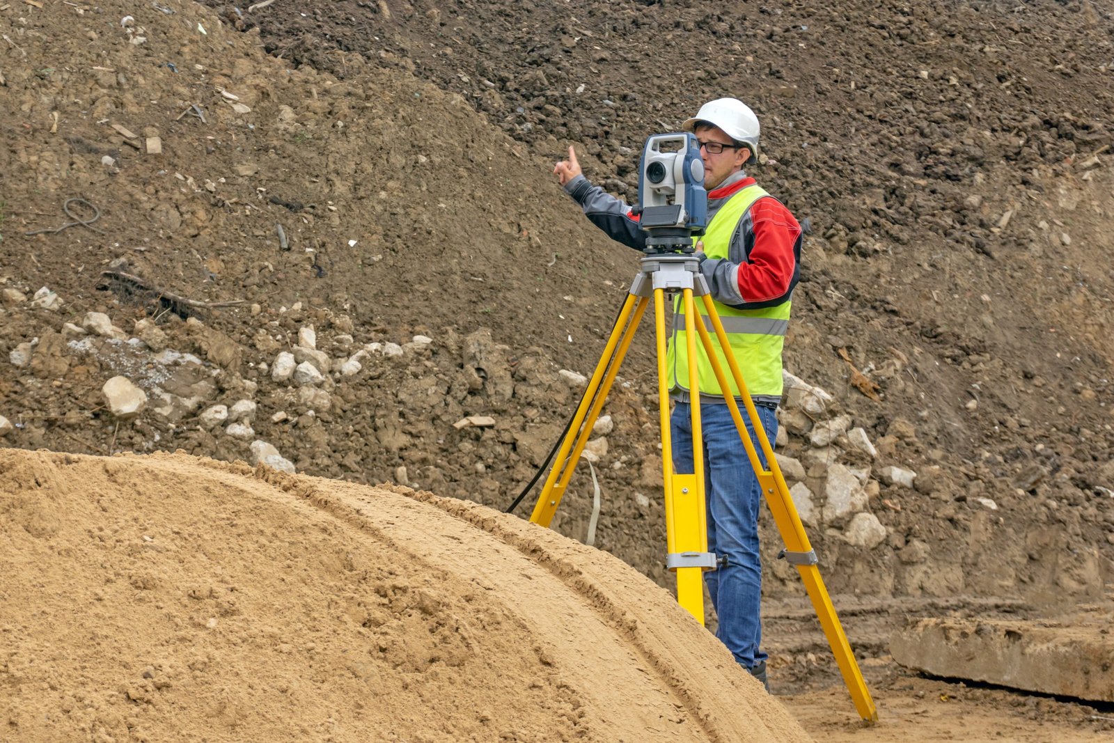
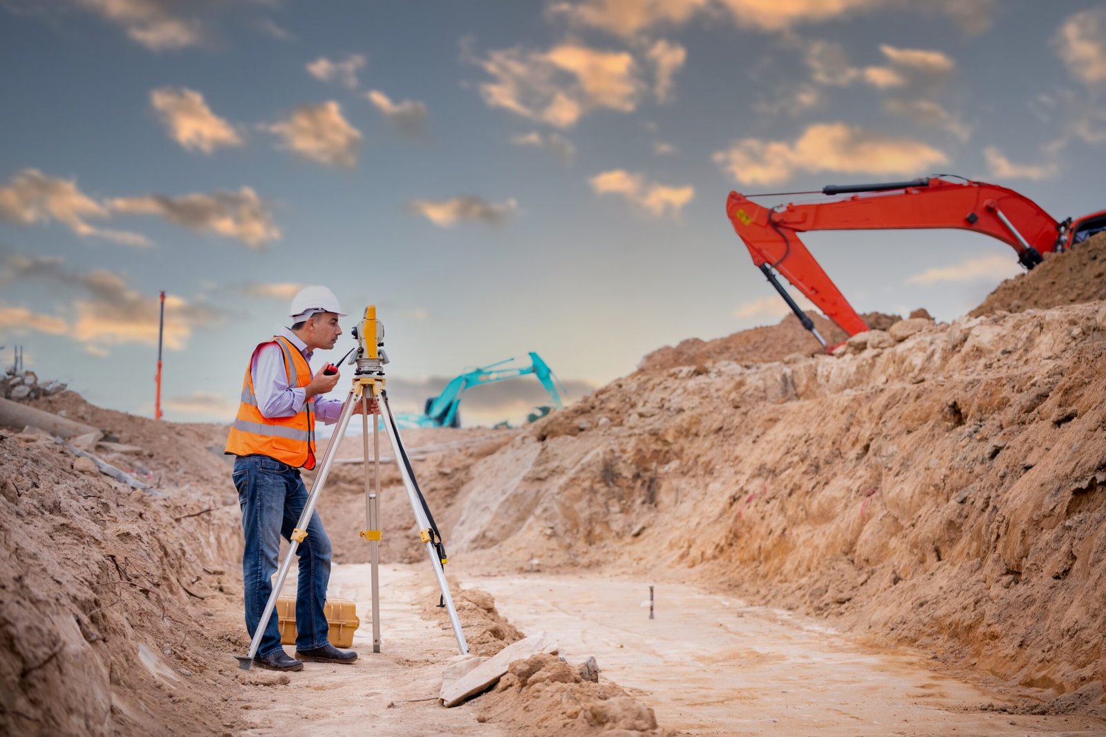
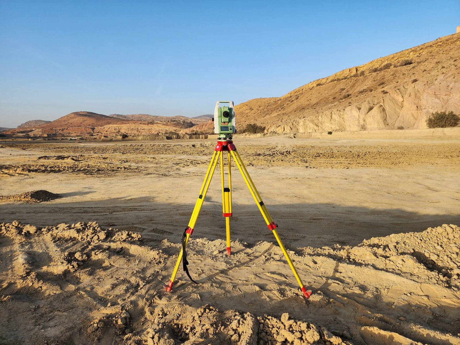
TOPOGRAPHIC SURVEY
Safeguard quality and quantity, mitigate risk, and meet contractual and regulatory requirements.
Inventory Verification
GeoChem Arabia provides Inventory Verification services designed to deliver accurate tracking and reconciliation of stored materials within tanks and storage facilities. Utilizing advanced surveying techniques and industry-standard methodologies, we ensure that inventory records reflect the actual quantities on site. This service plays a vital role in identifying and preventing discrepancies, supporting effective loss control, and enhancing operational efficiency. By maintaining precise inventory data, we help clients meet regulatory compliance requirements, improve reporting accuracy, and make informed decisions in storage management and petroleum trading operations.
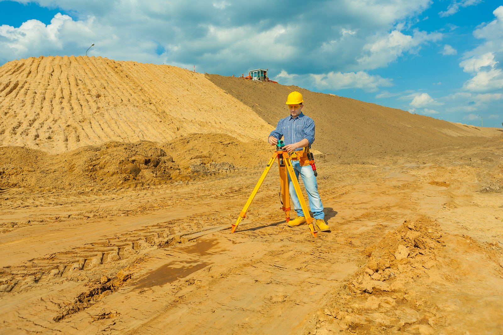
Stockpile Volume Assessment
GeoChem Arabia provides Stockpile Volume Assessment services using high-precision measurement techniques to accurately determine the volume of bulk material stockpiles. Our assessments support reliable inventory management by delivering exact quantity data, essential for operational planning, resource allocation, and financial reporting. By combining advanced surveying technologies with industry expertise, we help clients enhance efficiency, reduce material losses, and improve overall decision-making in mining, construction, and industrial operations.
Material Discrepancy Analysis
GeoChem Arabia offers Material Discrepancy Analysis services to identify and investigate variations between recorded and actual stored inventory. By analyzing discrepancies through detailed inspections and measurement verification, we help clients detect potential losses, operational inefficiencies, or procedural errors. This service is crucial for effective loss prevention, ensuring data integrity, and maintaining accountability in storage and transfer operations across various industries.
LIDAR Survey
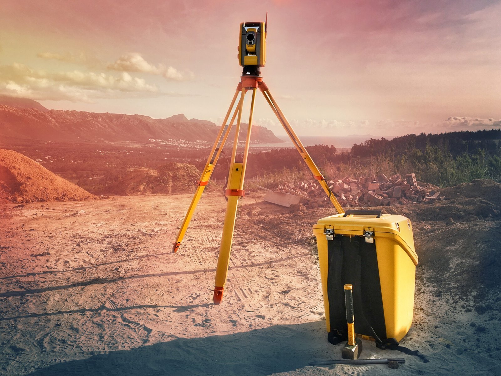
We provide LIDAR Survey services utilizing cutting-edge Light Detection and Ranging (LIDAR) technology to deliver high-precision terrain and volume mapping. This advanced surveying method captures detailed topographical data with exceptional accuracy and speed, making it ideal for applications such as land development, infrastructure planning, stockpile assessment, and environmental monitoring. Our LIDAR solutions enable clients to make informed decisions through reliable spatial data, improved project planning, and enhanced operational efficiency.
Aerial and Ground Based Scanning
We offer Aerial and Ground-Based Scanning services to capture high-resolution spatial data for accurate topographic modeling and site analysis. By combining drone-based aerial surveys with terrestrial scanning technologies, we provide comprehensive surface mapping and 3D modeling solutions. This integrated approach delivers precise measurements for applications such as construction planning, land development, volume calculations, and environmental assessments, enabling clients to make data-driven decisions with greater confidence and efficiency.

Survey Data Reporting
We offer Survey Data Reporting services that provide comprehensive insights through detailed reports, 3D models, and precise volume calculations. Our reporting solutions transform high-precision survey data into clear, easy-to-understand formats, enabling clients to visualize site conditions, assess structural integrity, and monitor material volumes with confidence. These reports support informed decision-making and enhance transparency and efficiency across industries such as oil and gas, construction, mining, and logistics.